Topographic survey services for the implementation of various investments in infrastructure (Modernization / rehabilitation of roads / Railways, Building / Extension of water supply networks / sewerage / gas, Fiber Optic networks) and Urban Planning (PUG, PUZ, PUD).
Previous
Next
Previous
Next
3D Laser Scanning
LiDAR Scanning services for Constructions / Historical monuments, necessary for the modernization, rehabilitation, enveloping of the respective constructions / Historical monuments
GIS Services
GIS data collection and integration into various systems – data on street networks, postal addresses, road traffic signs, interest points according to working technology, green spaces, etc.
Previous
Next
Previous
Next
UAV Photogrammetry
Orthophotoplan services, necessary to support GIS, Cadastral works
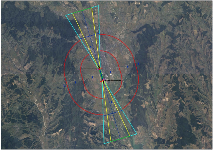
Doc. aviz AACR
Intocmirea documentatiilor tehnice aferente obiectivelor din zone cu servituti aeronautice civile sau din alte zone in care pot constitui obstacole pentru navigatia aerian.
You can find us in Bacau, I. S. Sturza boulevard, no. 27.
Also, you can call us at +4 0334 405 758 or send an email to office@helmert.ro.